- Leave a review
- Bookmark
- Share
- Something Wrong?
- prev
- next
Introduction
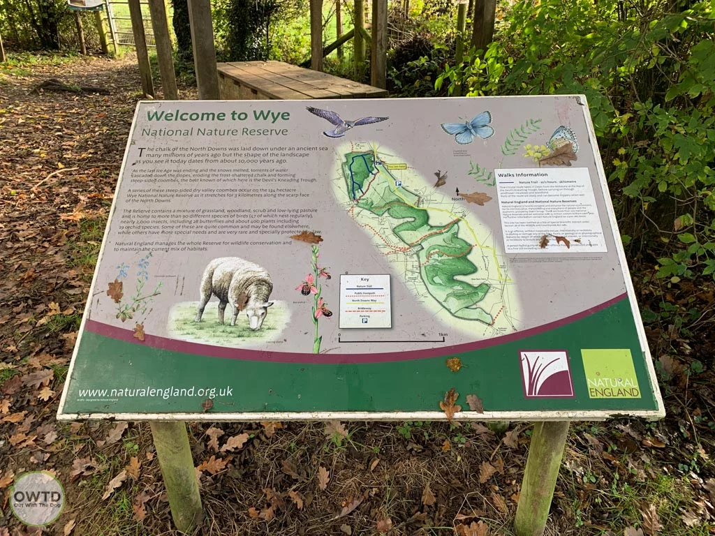
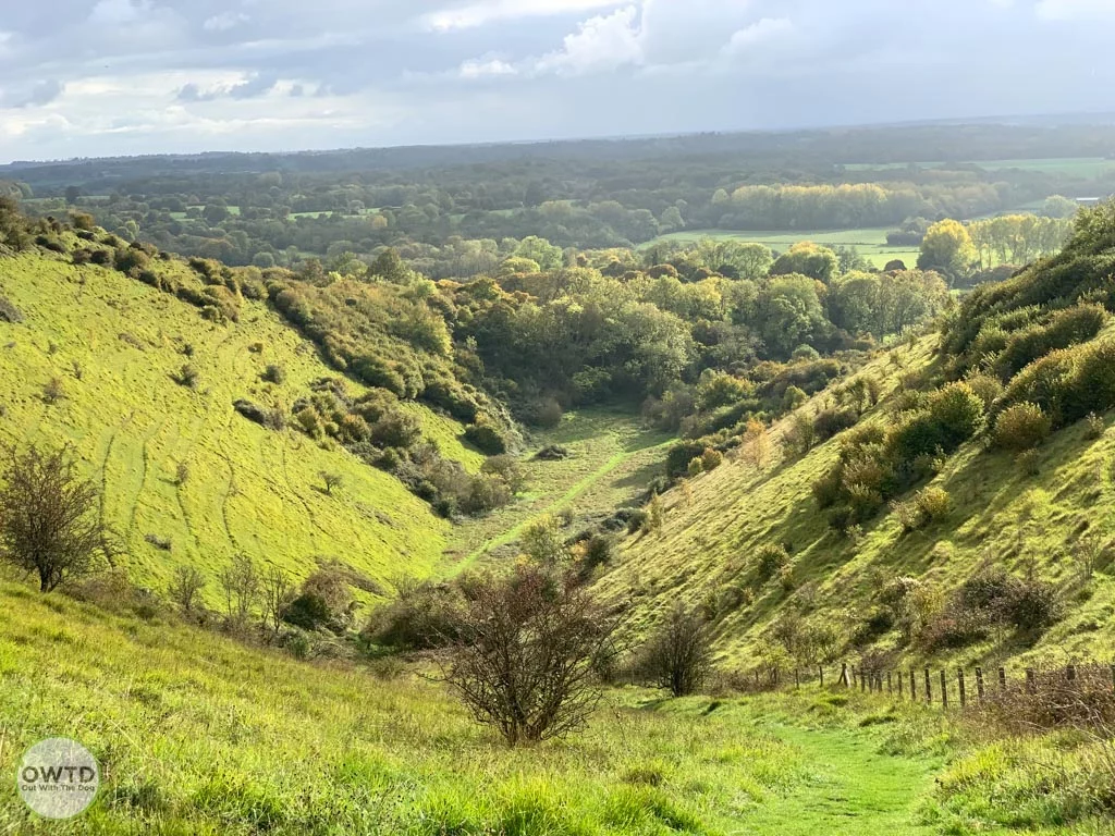
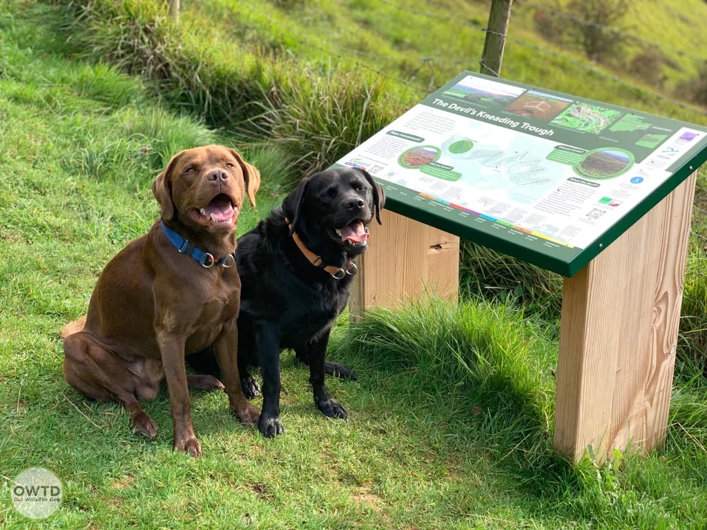
Wye National Nature Reserve is located close to the village of Wye and 6km northeast of Ashford in Kent. The reserve opened in 1961 and covers around 134 hectares of chalk grassland with the Devil's Kneading Trough set at its heart. This bowl shaped dry valley was cut into the downsand and formed at the end of the last ice age.
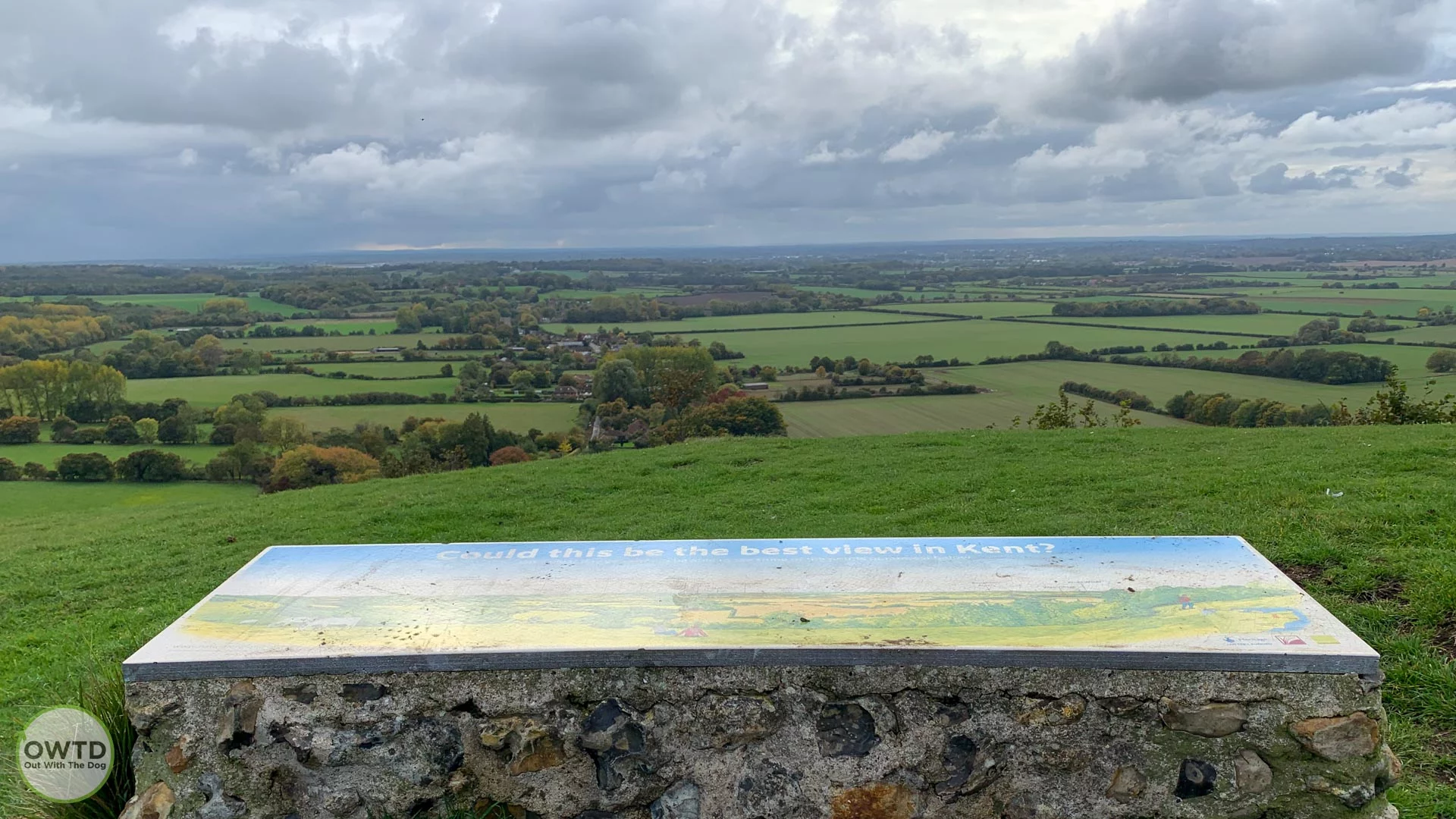
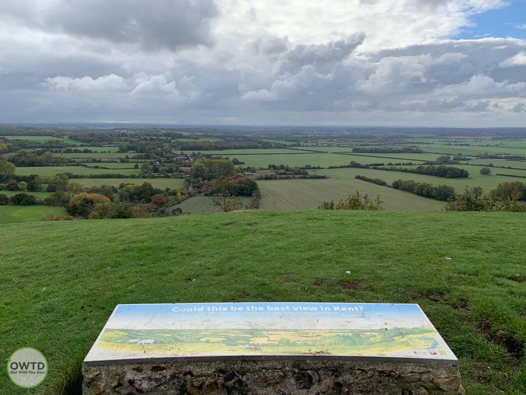
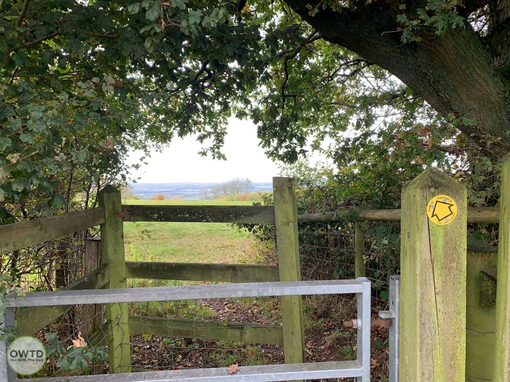
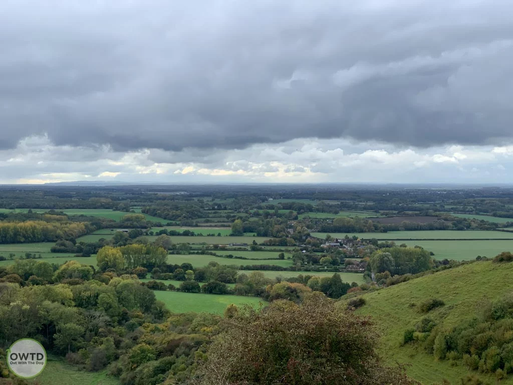
The top of the chalk downland provides an outstanding panoramic view where on a clear day you can see Rye, Romney Marsh, and the coast of Hastings and Dungeness.
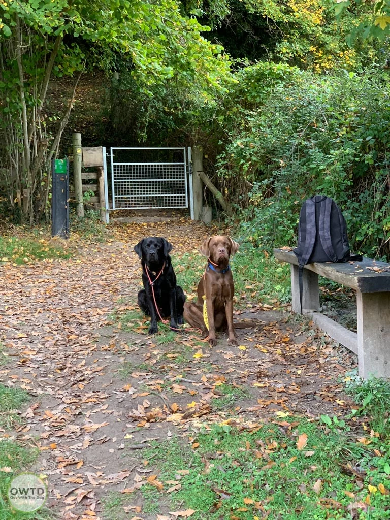
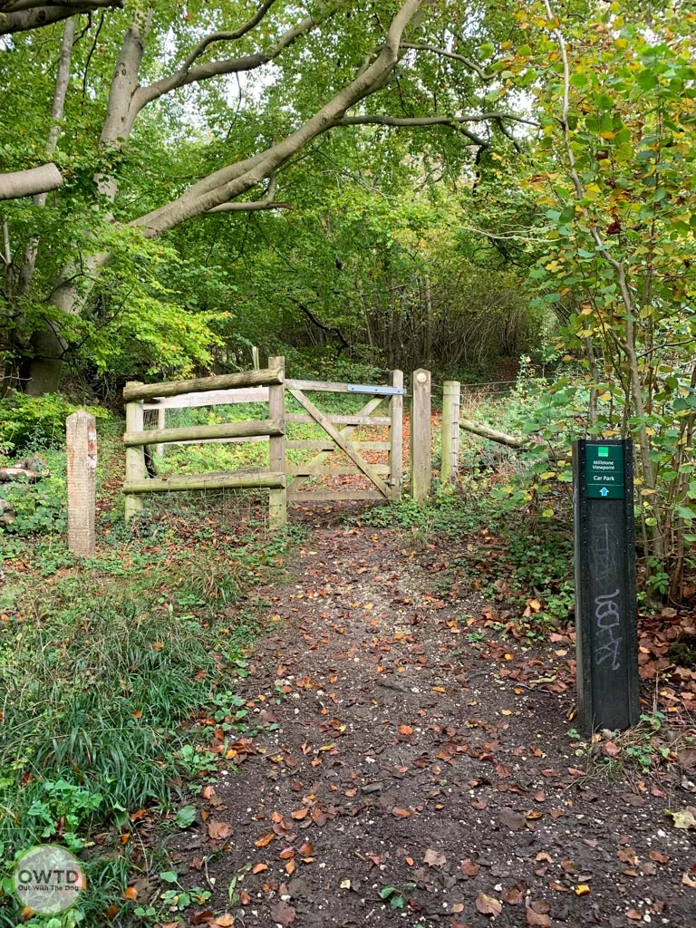
There is a circular nature trail around Wye National Nature Reserve as well as connections to the North Downs Way and several other footpaths allowing you to create a great circular walk. Care should be taken however with some of the footpaths as they can be on steep slopes and might have grazing livestock.
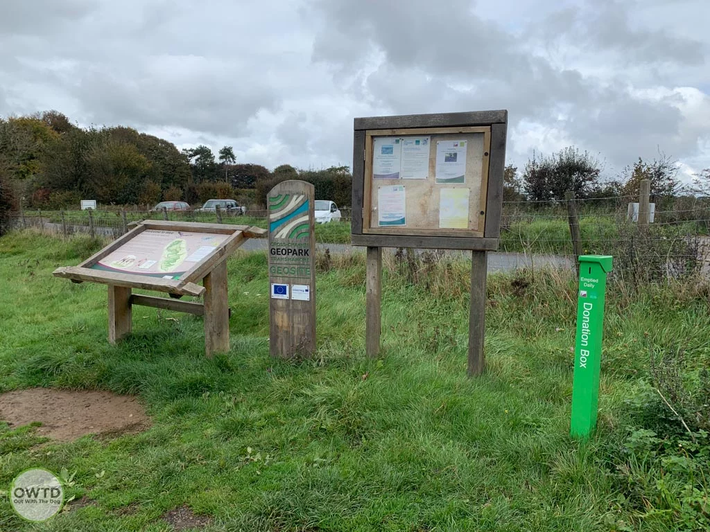
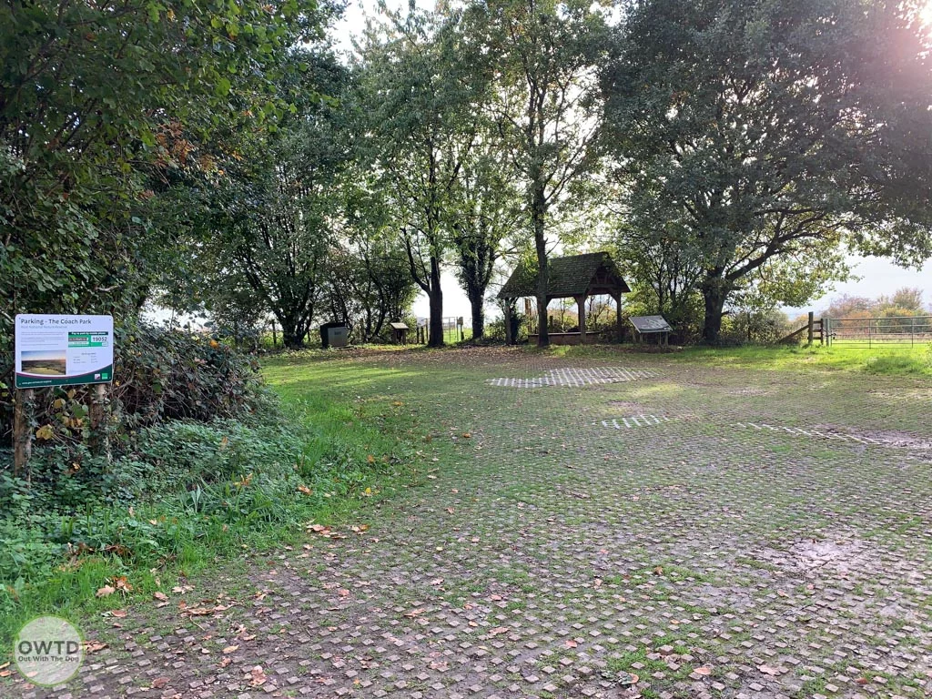
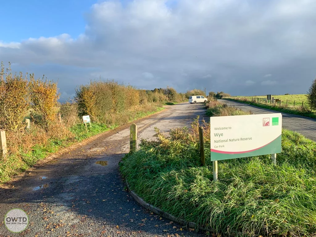
Two voluntary payment car parks are available along Coldharbour Lane offering plenty of parking.
The nearby village of Wye offers a dog friendly cafe and pub along with a supermarket and public toilets.
Walk Location
-
Coldharbour Lane, Wye Downs, Ashford, Kent TN25 5HE
Parking Location (what3words)
Walk Details
Wye National nature Reserve offers a way marked nature trail that starts and finishes from The Coach Park car park or Explore Kent have produced a leaflet for a 7Km circular walk that takes you across the downs and into Wye village before heading back to the car park. (Link to the PDF leaflet can be found under the Website for Further Information Link below.)
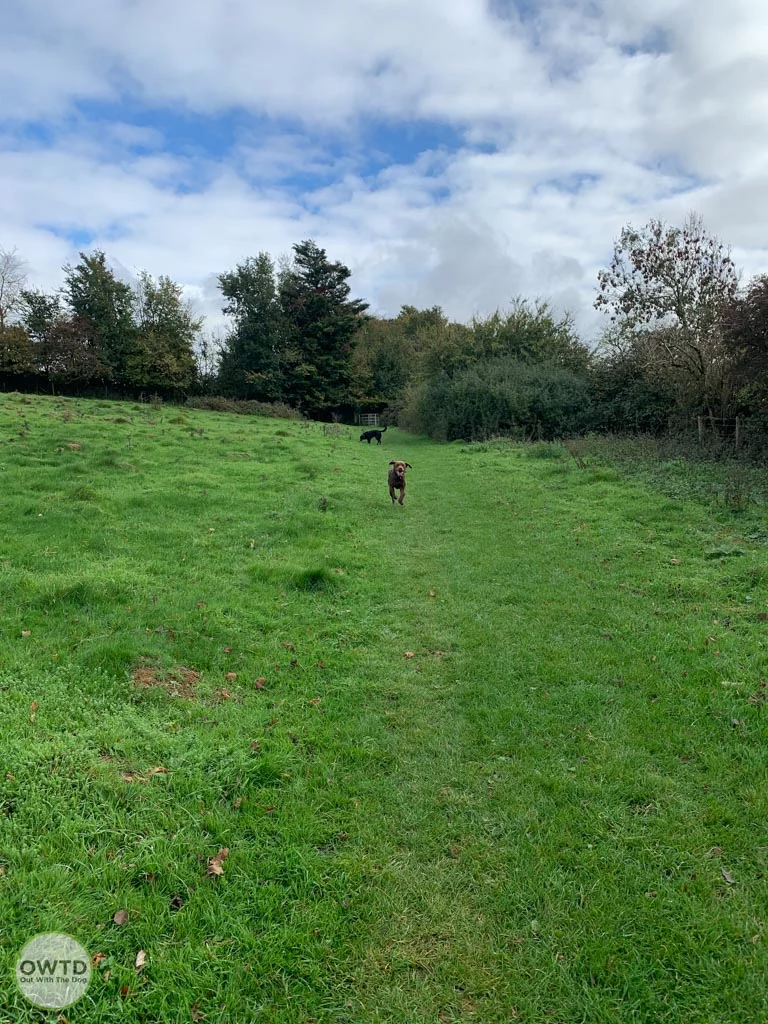
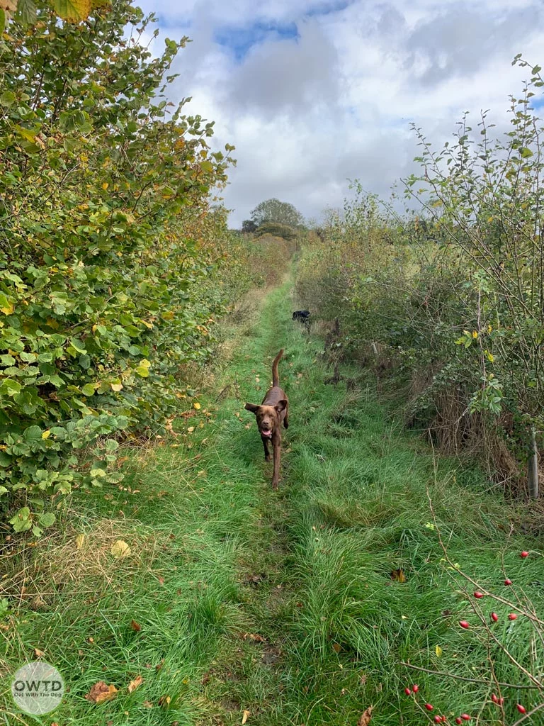
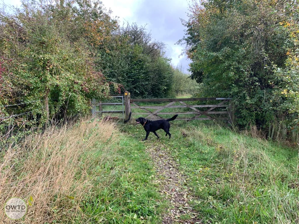
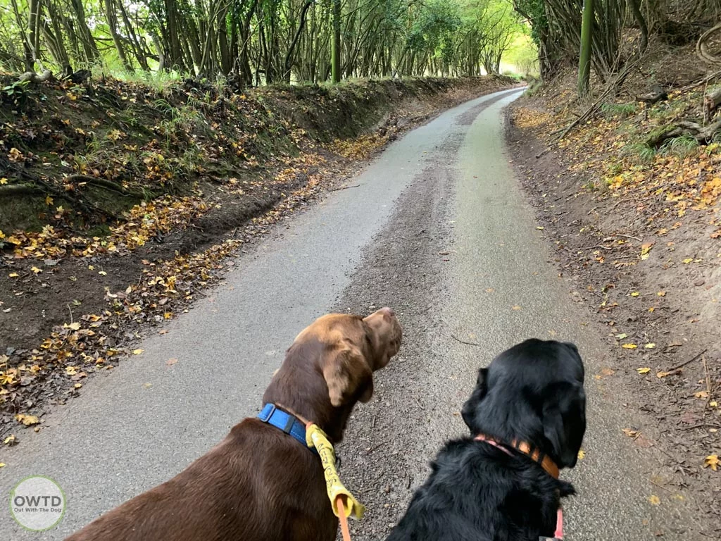
We however decided to plot our own route which followed the North Down Way, down a footpath to the bottom of the downland and along a quiet lane before heading back into the reserve and making our way back up through the Devil's Kneading Trough. The route gave us a good mix of on and off lead sections starting with a good stretch of off lead freedom before some onlead calmness whilst heading through a sheep field, down the hill and along the country lane finishing off with some more off lead fun as you walk back up the Devils Kneading Bowl.
We would recommend downloading our route on the Alltrails App or using the GPX file and upload to your chosen walk navigation app as although this isn't a complicated route some of the footpath entrances arent initially obvious in my opinion.
Our Walk Route
How to use the AllTrails map
Click the walk title in the top right of the above window to open the route on the AllTrails website or the mobile app. You can then create a free account which will then allow you to follow the route as you walk on your mobile. If you would rather not sign up to AllTrails free account and would like to use another mapping app (such as OS Maps, Outdooractive or Komoot etc) on your phone then you can download the GPX file below and import this into your desired app inorder to follow the trail.
Route GPX File Download
OWTD Walk Verdict
A really enjoyable walk with one of the best views in Kent. The walk back up the hill wasnt as bad as expected but still gets your heart going. If you dont fancy walking along the quiet country lane or the slow up hill stagger there is still plenty to explore and enjoy along the top near the car parks and is therefore still worth a visit even if its just to see that view.
Walk Information
- Hard - A walk with steep hills, uneven paths and obstacles
- Our walk was around 5.5 Km but you can shorten or extend quite easily if required.
- Our walking time was around 1.5 hours but we did stop a few times so allow nearer to 2 hours for our route.
- Grassed fields, woodland footpaths, tarmaced lane none of which was particularly muddy when we visited. Caution should be used when heading down hill to the lane in wet weather though due to some steep sections.
- The walk isnt accessible but if you want to see the view the car park allows you to park up and enjoy it from your car.
- Lots of kissing gates
- Dogs allowed off lead but depending on your chosen route you can cross fields with live stock so please be prepared to put your dog onlead.
- Bins only available in the car parks
- Two car parks available and voluntary payable via the RingGo App
- Nearest Public Toilets are located in the village of Wye located next to the Co-op supermarket
- Wye village has a co-op supermarket, The Wye Coffee Shop and Kitchen and The Tickled Trout. Both of which welcome dogs.

Add a review